Before a single seismic line is recorded, the groundwork must be exact. At CB Geophysical Solutions Limited, we understand that high-quality seismic data begins with accurate field surveying—the backbone of any successful acquisition project.
Why Surveying Matters
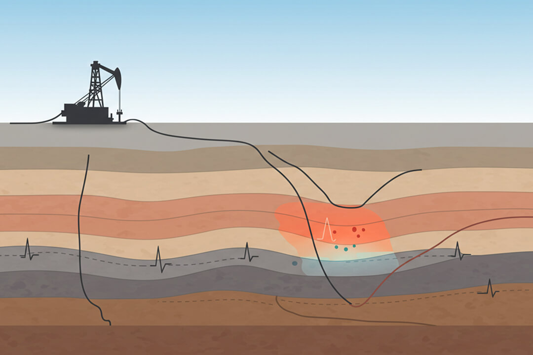
Surveying defines the geometry of a seismic survey. It ensures that every shot point and receiver is precisely positioned to capture optimal reflections from the subsurface. Without it, even the most advanced processing techniques won’t yield reliable results.
Our Tools & Techniques
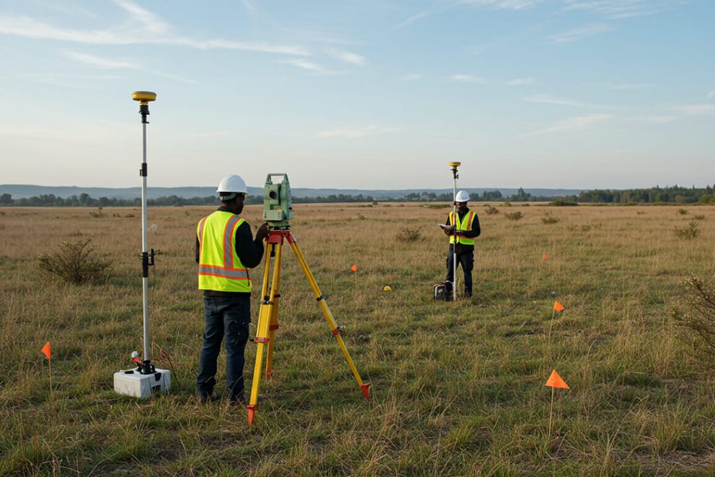
Our in-house survey crews use state-of-the-art equipment such as:
-
Leica Total Stations for angular precision
-
Differential GPS units for sub-meter accuracy
-
Garmin handheld GPS for field mobility
-
GpSeismic and MapInfo software for data processing and map generation
From pre-survey planning to post-survey quality checks, our workflow is designed to reduce errors, streamline operations, and deliver high-resolution subsurface images.
Minimizing Environmental Impact
We don’t just survey effectively—we do so responsibly. Our teams engage with local communities, secure permits professionally, and use stakeless vibe data acquisition methods to reduce environmental disruption.
Setting the Foundation for Success
Surveying might happen at the beginning of a seismic project, but its impact echoes throughout the entire exploration lifecycle. At CB Geophysical, we lay a solid foundation—one that enables our clients to explore with confidence.