- Geophysical Survey
- 3D Laser Scanning & Modeling
- Mapping and GIS services
- Dimensional Control Survey
- Topographical Survey
- Construction Support Survey
- Geotechnical Investigation
CB Geophysical solutions provides an integrated range of survey and geotechnical services. CBGS teams of survey and geotechnical specialists utilize leading technology and standard methods to collect data, perform data interpretation and analysis, in order to provide our clients with advice on the optimum location, surface and subsurface conditions.
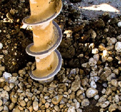
Geotechnical Services: CBGS performs geotechnical investigations in onshore and near-shore areas. Geotechnical data is obtained with the use of industry-wide accepted methods and tools. Detailed information on soil and ground water mechanical and physio-chemical properties are collected during geotechnical investigations
- Metocean Survey
- Construction Survey Support
- Surface Positioning
- Subsea Positioning
- Investigation
- Geophysical Survey – site and route surveys
CB Geophysical solutions provides a wide range of services for the offshore industry. This includes surface and subsea positioning and survey support for oil and gas exploration and production activities, marine infrastructure design and installation, geophysical site and route surveys, oceanography and metrology and marine geotechnical investigations
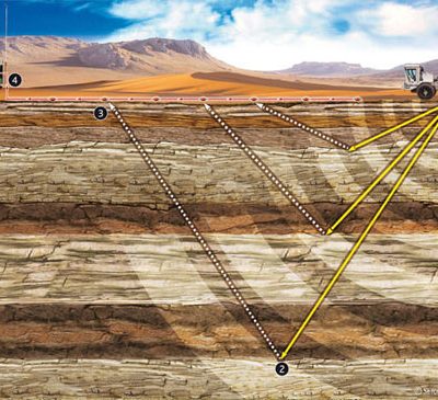
Geophysical Surveys: Geophysical surveys are performed by CBGS to provide comprehensive assessment of the seabed and sub-seabed and derive reliable data to enable our clients make informed decisions. Site geophysical surveys are undertaken by our specialist team for new and existing oil field developments in conjunction with geotechnical investigation to provide reliable data of the seabed and sub-seabed and possible geo hazards.


